New Road, Whitmore, near Verwood
Introduction
The photograph on this page of New Road, Whitmore, near Verwood by Brian Robert Marshall as part of the Geograph project.
The Geograph project started in 2005 with the aim of publishing, organising and preserving representative images for every square kilometre of Great Britain, Ireland and the Isle of Man.

There are currently over 7.5m images from over 14,400 individuals and you can help contribute to the project by visiting https://www.geograph.org.uk
New Road, Whitmore, near Verwood
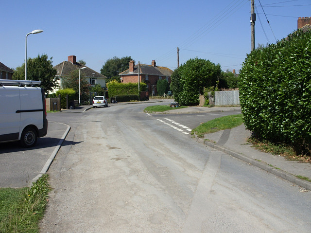
Image: © Brian Robert Marshall Taken: 19 Aug 2009
These may be former local authority houses from the inter-war years. New Road is shown as a bridleway here. Burgess Field is seen joining New Road at the left just beyond the white van.
Images are licensed for reuse under creativecommons.org/licenses/by-sa/2.0
Image Location
Latitude
50.880012
Longitude
-1.913953