Grid reference - Ashford Bowdler level crossing
Introduction
The photograph on this page of Grid reference - Ashford Bowdler level crossing by Richard Webb as part of the Geograph project.
The Geograph project started in 2005 with the aim of publishing, organising and preserving representative images for every square kilometre of Great Britain, Ireland and the Isle of Man.

There are currently over 7.5m images from over 14,400 individuals and you can help contribute to the project by visiting https://www.geograph.org.uk
Grid reference - Ashford Bowdler level crossing
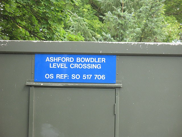
Image: © Richard Webb Taken: 4 Aug 2008
Ever tried telling Authority or a service where you are with a grid reference? Usually it is rather futile. This suggests that Network Rail, or a similar body is familiar with, and uses the National Grid.
Images are licensed for reuse under creativecommons.org/licenses/by-sa/2.0
Image Location


Leaflet Map data © OpenStreetMap
Latitude
52.331537
Longitude
-2.709191