Footpath to the rear of Kettlewell Close, Woodloes Park
Introduction
The photograph on this page of Footpath to the rear of Kettlewell Close, Woodloes Park by Robin Stott as part of the Geograph project.
The Geograph project started in 2005 with the aim of publishing, organising and preserving representative images for every square kilometre of Great Britain, Ireland and the Isle of Man.

There are currently over 7.5m images from over 14,400 individuals and you can help contribute to the project by visiting https://www.geograph.org.uk
Footpath to the rear of Kettlewell Close, Woodloes Park
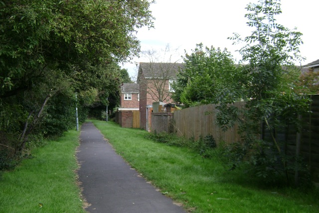
Image: © Robin Stott Taken: 17 Aug 2009
An admirable feature of this late-1970s estate is its network of footpaths. Another is its retention of field hedges on the farmland site. This path runs for 500 metres through the southern part of the estate.
Images are licensed for reuse under creativecommons.org/licenses/by-sa/2.0
Image Location
Latitude
52.295
Longitude
-1.585001