Telston Lane, Otford (bridleway)
Introduction
The photograph on this page of Telston Lane, Otford (bridleway) by David Anstiss as part of the Geograph project.
The Geograph project started in 2005 with the aim of publishing, organising and preserving representative images for every square kilometre of Great Britain, Ireland and the Isle of Man.

There are currently over 7.5m images from over 14,400 individuals and you can help contribute to the project by visiting https://www.geograph.org.uk
Telston Lane, Otford (bridleway)
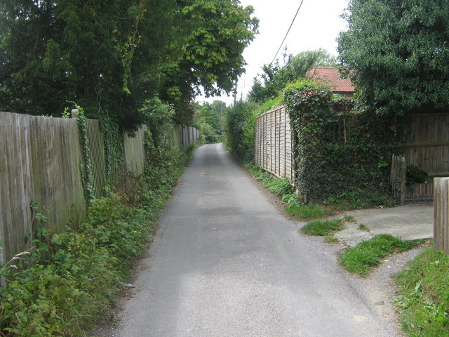
Image: © David Anstiss Taken: 16 Aug 2009
This lane converts from a road into a bridleway after Hale Lane. The North Downs Way and Darenth Valley Path (long distance paths) lead along this bridleway past Orchard Farm.
Images are licensed for reuse under creativecommons.org/licenses/by-sa/2.0
Image Location


Leaflet Map data © OpenStreetMap
Latitude
51.307761
Longitude
0.174138