Stelling Hall, Northumberland
Introduction
The photograph on this page of Stelling Hall, Northumberland by Ian Porter as part of the Geograph project.
The Geograph project started in 2005 with the aim of publishing, organising and preserving representative images for every square kilometre of Great Britain, Ireland and the Isle of Man.

There are currently over 7.5m images from over 14,400 individuals and you can help contribute to the project by visiting https://www.geograph.org.uk
Stelling Hall, Northumberland
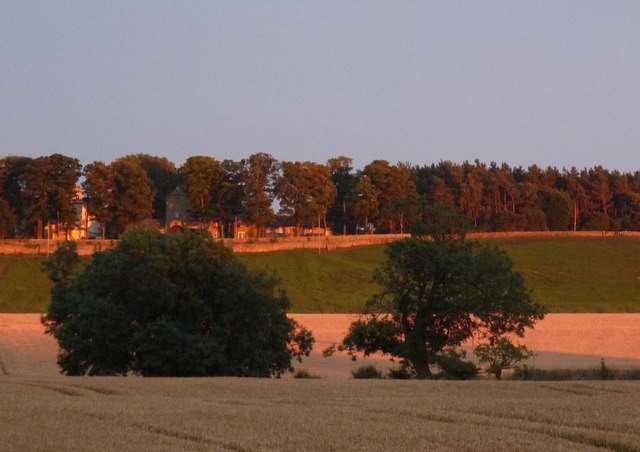
Image: © Ian Porter Taken: 6 Aug 2009
Stelling Hall can be seen left of centre in this photograph. The photograph was taken from Wellhouse Farm Campsite http://www.wellhousefarm.co.uk Below are editted details taken from http://www.wiki-north-east.co.uk/article.aspx?id=623518 dated 09/09/2000 "Just seven miles from Hexham and 14 miles from Newcastle, this Edwardian country house is in private grounds of two acres with an open south-facing aspect over countryside and the Tyne Valley. Stelling Hall was divided into four substantial self-contained residences within the past four years and has an interesting history. It was built for a Northumbrian family on the site of an original 13th Century hall. The building was completed in 1902 with major renovation in 1953." Note: this photograph is the north facing aspect of the Hall
Images are licensed for reuse under creativecommons.org/licenses/by-sa/2.0
Image Location
Latitude
54.985207
Longitude
-1.924634