H&G canal crosses beneath the main road
Introduction
The photograph on this page of H&G canal crosses beneath the main road by Andrew Darge as part of the Geograph project.
The Geograph project started in 2005 with the aim of publishing, organising and preserving representative images for every square kilometre of Great Britain, Ireland and the Isle of Man.

There are currently over 7.5m images from over 14,400 individuals and you can help contribute to the project by visiting https://www.geograph.org.uk
H&G canal crosses beneath the main road
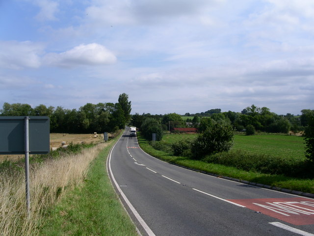
Image: © Andrew Darge Taken: 16 Aug 2009
Once an important interchange between canal and road with cottages and a barrel-roofed building beside the wharf (centre of picture). The trees on the left are beside the dry bed being restored by the Herefordshire and Gloucestershire Canal Trust. To the right beyond the wharf the canal is in water to Monkhide and the famous skew bridge. Restoration of a navigable channel beneath the road will be a major challenge to overcome.
Images are licensed for reuse under creativecommons.org/licenses/by-sa/2.0
Image Location
Latitude
52.094558
Longitude
-2.575073