Saxon Shore Way on Whitstable Promenade
Introduction
The photograph on this page of Saxon Shore Way on Whitstable Promenade by David Anstiss as part of the Geograph project.
The Geograph project started in 2005 with the aim of publishing, organising and preserving representative images for every square kilometre of Great Britain, Ireland and the Isle of Man.

There are currently over 7.5m images from over 14,400 individuals and you can help contribute to the project by visiting https://www.geograph.org.uk
Saxon Shore Way on Whitstable Promenade
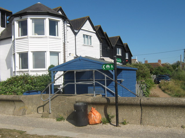
Image: © David Anstiss Taken: 15 Aug 2009
The long distance path heads left along the sea wall promenade towards the harbour. It also heads right. inland around a caravan and mobile home site on the coast, heading towards Seasalter.
Images are licensed for reuse under creativecommons.org/licenses/by-sa/2.0
Image Location
Latitude
51.354947
Longitude
1.015509