Kings Way
Introduction
The photograph on this page of Kings Way by Simon Carey as part of the Geograph project.
The Geograph project started in 2005 with the aim of publishing, organising and preserving representative images for every square kilometre of Great Britain, Ireland and the Isle of Man.

There are currently over 7.5m images from over 14,400 individuals and you can help contribute to the project by visiting https://www.geograph.org.uk
Kings Way
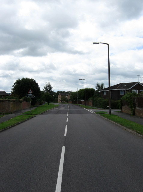
Image: © Simon Carey Taken: 16 Aug 2009
Main arterial road through the new suburbs of eastern Burgess Hill that grew up in the 1980s and 90s. A public footpath crosses the road straight ahead a reminder of the rural origins of this area which once belonged to the parish of Ditchling.
Images are licensed for reuse under creativecommons.org/licenses/by-sa/2.0
Image Location
Latitude
50.95142
Longitude
-0.114333