Monarch?s Way Footpath from Brake Lane to Brake Mill Farm, Worcestershire
Introduction
The photograph on this page of Monarch?s Way Footpath from Brake Lane to Brake Mill Farm, Worcestershire by Richard Rogerson as part of the Geograph project.
The Geograph project started in 2005 with the aim of publishing, organising and preserving representative images for every square kilometre of Great Britain, Ireland and the Isle of Man.

There are currently over 7.5m images from over 14,400 individuals and you can help contribute to the project by visiting https://www.geograph.org.uk
Monarch?s Way Footpath from Brake Lane to Brake Mill Farm, Worcestershire
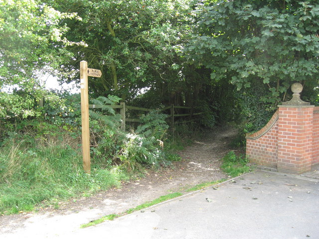
Image: © Richard Rogerson Taken: 15 Aug 2009
This walk follows the escape of Charles II after the Battle of Worcester in 1651. http://www.walkingpages.co.uk/trails_paths/LDP_monarchsway.htm
Images are licensed for reuse under creativecommons.org/licenses/by-sa/2.0
Image Location
Latitude
52.423194
Longitude
-2.157154