The Twitten
Introduction
The photograph on this page of The Twitten by Simon Carey as part of the Geograph project.
The Geograph project started in 2005 with the aim of publishing, organising and preserving representative images for every square kilometre of Great Britain, Ireland and the Isle of Man.

There are currently over 7.5m images from over 14,400 individuals and you can help contribute to the project by visiting https://www.geograph.org.uk
The Twitten
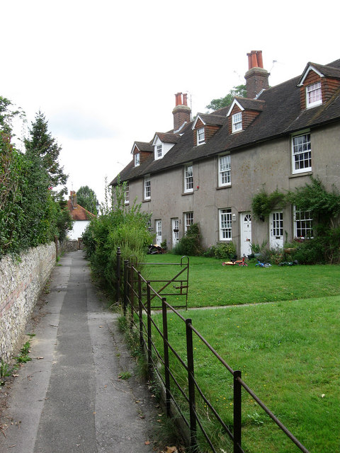
Image: © Simon Carey Taken: 16 Aug 2009
Twitten is the Sussex word for narrow alley and this one links Lewes Road to East End Lane and includes this row of cottages set at an angle to the pathway.
Images are licensed for reuse under creativecommons.org/licenses/by-sa/2.0
Image Location
Latitude
50.921186
Longitude
-0.113279