Farther Yard Field West
Introduction
The photograph on this page of Farther Yard Field West by Simon Carey as part of the Geograph project.
The Geograph project started in 2005 with the aim of publishing, organising and preserving representative images for every square kilometre of Great Britain, Ireland and the Isle of Man.

There are currently over 7.5m images from over 14,400 individuals and you can help contribute to the project by visiting https://www.geograph.org.uk
Farther Yard Field West
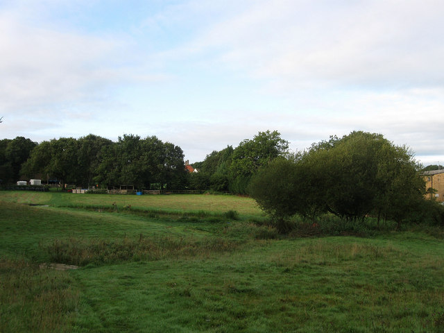
Image: © Simon Carey Taken: 16 Aug 2009
The name of the field according to the 1843 tithe map. Located next to Ditchling Common Industrial Estate built on the site of a former brick and tile works.
Images are licensed for reuse under creativecommons.org/licenses/by-sa/2.0
Image Location
Latitude
50.947801
Longitude
-0.090847