Field with observatory, Giggleswick
Introduction
The photograph on this page of Field with observatory, Giggleswick by Humphrey Bolton as part of the Geograph project.
The Geograph project started in 2005 with the aim of publishing, organising and preserving representative images for every square kilometre of Great Britain, Ireland and the Isle of Man.

There are currently over 7.5m images from over 14,400 individuals and you can help contribute to the project by visiting https://www.geograph.org.uk
Field with observatory, Giggleswick
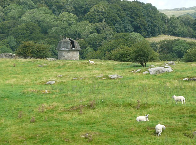
Image: © Humphrey Bolton Taken: 2 Aug 2009
This gives context to Image A rocky field grazed by sheep.
Images are licensed for reuse under creativecommons.org/licenses/by-sa/2.0
Image Location
Latitude
54.073364
Longitude
-2.296437