Stubs Copse
Introduction
The photograph on this page of Stubs Copse by Simon Carey as part of the Geograph project.
The Geograph project started in 2005 with the aim of publishing, organising and preserving representative images for every square kilometre of Great Britain, Ireland and the Isle of Man.

There are currently over 7.5m images from over 14,400 individuals and you can help contribute to the project by visiting https://www.geograph.org.uk
Stubs Copse
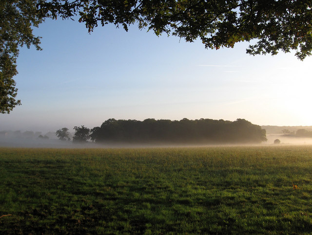
Image: © Simon Carey Taken: 16 Aug 2009
Viewed from the junction of footpaths on the eastern edge of Ditchling Common and seemingly floating in the middle of the early morning mist.. According to the 1843 tithe map the field in the foreground was called Hop Garden Field.
Images are licensed for reuse under creativecommons.org/licenses/by-sa/2.0
Image Location
Latitude
50.951316
Longitude
-0.096825