63 - 73 Marchbank Road, W14
Introduction
The photograph on this page of 63 - 73 Marchbank Road, W14 by Phillip Perry as part of the Geograph project.
The Geograph project started in 2005 with the aim of publishing, organising and preserving representative images for every square kilometre of Great Britain, Ireland and the Isle of Man.

There are currently over 7.5m images from over 14,400 individuals and you can help contribute to the project by visiting https://www.geograph.org.uk
63 - 73 Marchbank Road, W14
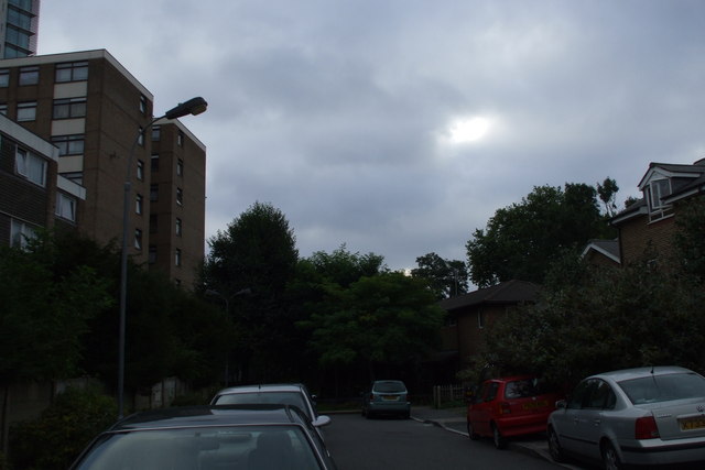
Image: © Phillip Perry Taken: 15 Aug 2009
You can just make out the houses on the right hand side, where the green car is, 6 houses obscured by trees, that are more correctly should be in Thaxton Road and not Marchbank. The houses and block of flats on the left are in Marchbank Road, and part of the notorious West Kensington estate.
Images are licensed for reuse under creativecommons.org/licenses/by-sa/2.0
Image Location
Latitude
51.486953
Longitude
-0.20035