The Poplars
Introduction
The photograph on this page of The Poplars by John Sutton as part of the Geograph project.
The Geograph project started in 2005 with the aim of publishing, organising and preserving representative images for every square kilometre of Great Britain, Ireland and the Isle of Man.

There are currently over 7.5m images from over 14,400 individuals and you can help contribute to the project by visiting https://www.geograph.org.uk
The Poplars
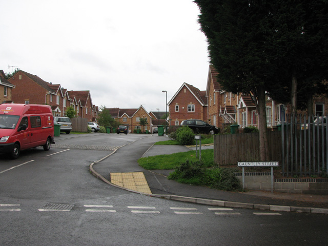
Image: © John Sutton Taken: 12 Aug 2009
A new development leading on from Victorian Gauntley Street. The re-routed Plantation Side footpath (signposted, though the green finger is scarcely visible, next to the lamp post, in this picture) comes out between the houses on the right, where the green wheelie bin and the black car are.
Images are licensed for reuse under creativecommons.org/licenses/by-sa/2.0
Image Location
Latitude
52.969801
Longitude
-1.176087