Woolsbridge, Old Barn Farm
Introduction
The photograph on this page of Woolsbridge, Old Barn Farm by Mike Faherty as part of the Geograph project.
The Geograph project started in 2005 with the aim of publishing, organising and preserving representative images for every square kilometre of Great Britain, Ireland and the Isle of Man.

There are currently over 7.5m images from over 14,400 individuals and you can help contribute to the project by visiting https://www.geograph.org.uk
Woolsbridge, Old Barn Farm
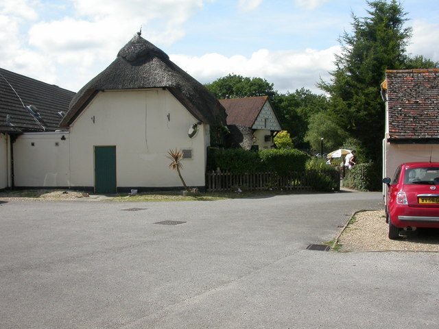
Image: © Mike Faherty Taken: 14 Aug 2009
Pub on Verwood Road, shown on old maps as Woolsbridge Farm. Difficult to photograph as it is situated right at the Northern edge of this square. Externally, large car park, garden, pond & dovecote (visible at the back); internally, L-shaped bar, eating & drinking areas surrounding it; darts, low ceilings & wooden beams. For some customer reviews, http://www.beerintheevening.com/pubs/s/22/22130/Old_Barn_Farm/Three_Legged_Cross
Images are licensed for reuse under creativecommons.org/licenses/by-sa/2.0
Image Location
Latitude
50.844264
Longitude
-1.863455