Verwood, sluice
Introduction
The photograph on this page of Verwood, sluice by Mike Faherty as part of the Geograph project.
The Geograph project started in 2005 with the aim of publishing, organising and preserving representative images for every square kilometre of Great Britain, Ireland and the Isle of Man.

There are currently over 7.5m images from over 14,400 individuals and you can help contribute to the project by visiting https://www.geograph.org.uk
Verwood, sluice
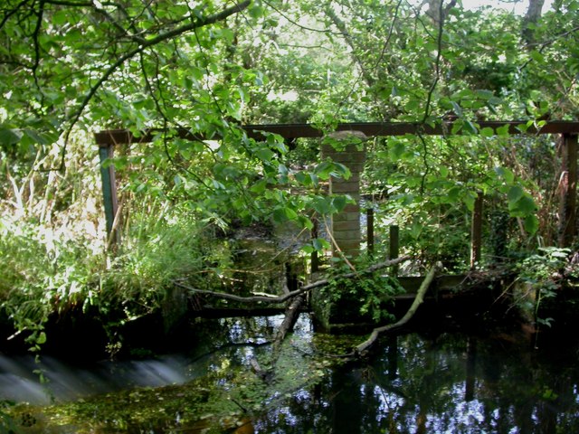
Image: © Mike Faherty Taken: 14 Aug 2009
Much of land bordering the River Crane nearby is heavily wooded. Here, a sluice, possibly connected with a nearby fishing lake.
Images are licensed for reuse under creativecommons.org/licenses/by-sa/2.0
Image Location
Latitude
50.868289
Longitude
-1.877311