Forge Lane, Ashford
Introduction
The photograph on this page of Forge Lane, Ashford by Richard Dorrell as part of the Geograph project.
The Geograph project started in 2005 with the aim of publishing, organising and preserving representative images for every square kilometre of Great Britain, Ireland and the Isle of Man.

There are currently over 7.5m images from over 14,400 individuals and you can help contribute to the project by visiting https://www.geograph.org.uk
Forge Lane, Ashford
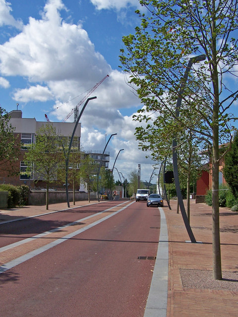
Image: © Richard Dorrell Taken: 30 Jul 2009
The Ashford ring road has changed dramatically in the last two years. This part has been narrowed, is now bordered with trees, converted to two-way traffic, and has had some unusual bendy street lights installed.
Images are licensed for reuse under creativecommons.org/licenses/by-sa/2.0
Image Location
Latitude
51.14953
Longitude
0.868237