Bungalows in Mill Road, Kingsland
Introduction
The photograph on this page of Bungalows in Mill Road, Kingsland by Eric Jones as part of the Geograph project.
The Geograph project started in 2005 with the aim of publishing, organising and preserving representative images for every square kilometre of Great Britain, Ireland and the Isle of Man.

There are currently over 7.5m images from over 14,400 individuals and you can help contribute to the project by visiting https://www.geograph.org.uk
Bungalows in Mill Road, Kingsland
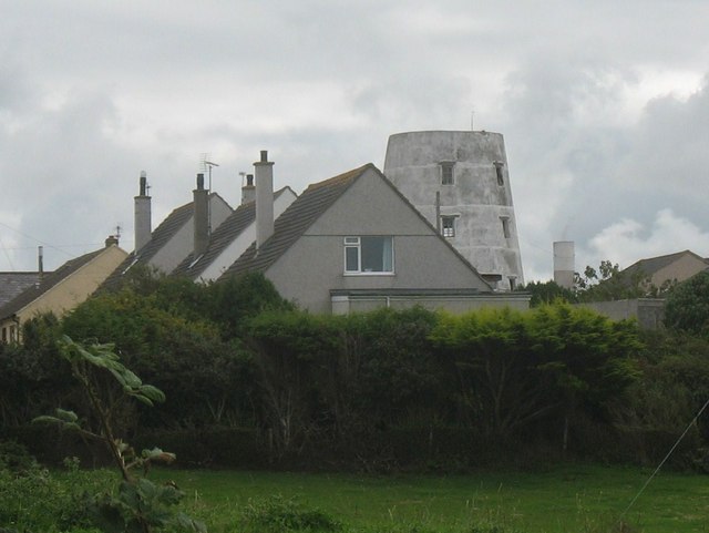
Image: © Eric Jones Taken: 13 Aug 2009
The old Kingsland Mill can be seen behind the bungalows and the structure to the right of it is the top of chimney stack of the doomed Anglesey Aluminium plant.
Images are licensed for reuse under creativecommons.org/licenses/by-sa/2.0
Image Location
Latitude
53.297735
Longitude
-4.62949