Carryduff (CoI) parish church (1)
Introduction
The photograph on this page of Carryduff (CoI) parish church (1) by Albert Bridge as part of the Geograph project.
The Geograph project started in 2005 with the aim of publishing, organising and preserving representative images for every square kilometre of Great Britain, Ireland and the Isle of Man.

There are currently over 7.5m images from over 14,400 individuals and you can help contribute to the project by visiting https://www.geograph.org.uk
Carryduff (CoI) parish church (1)
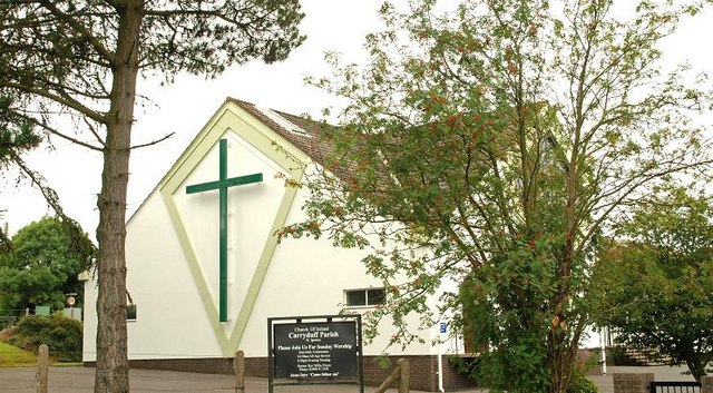
Image: © Albert Bridge Taken: 13 Aug 2009
At the corner of the Saintfield and Comber Roads, St Ignatius (CoI) parish church was built in 1969. At the time Carryduff was changing from a village to a suburb of Belfast. This is the side on the Comber road. See also Image
Images are licensed for reuse under creativecommons.org/licenses/by-sa/2.0
Image Location
Latitude
54.516352
Longitude
-5.882589