Mourne Grange, Dromore
Introduction
The photograph on this page of Mourne Grange, Dromore by Dean Molyneaux as part of the Geograph project.
The Geograph project started in 2005 with the aim of publishing, organising and preserving representative images for every square kilometre of Great Britain, Ireland and the Isle of Man.

There are currently over 7.5m images from over 14,400 individuals and you can help contribute to the project by visiting https://www.geograph.org.uk
Mourne Grange, Dromore
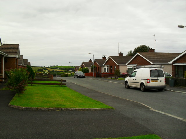
Image: © Dean Molyneaux Taken: 13 Aug 2009
This development sprung up in the early 1990s - at the top of Fairview Park. As the name suggests - residents have the pleasure of a Mourne Mountains vista on a clear day.
Images are licensed for reuse under creativecommons.org/licenses/by-sa/2.0
Image Location
Latitude
54.410003
Longitude
-6.150631