Central open space, Warwick Gates estate
Introduction
The photograph on this page of Central open space, Warwick Gates estate by Robin Stott as part of the Geograph project.
The Geograph project started in 2005 with the aim of publishing, organising and preserving representative images for every square kilometre of Great Britain, Ireland and the Isle of Man.

There are currently over 7.5m images from over 14,400 individuals and you can help contribute to the project by visiting https://www.geograph.org.uk
Central open space, Warwick Gates estate
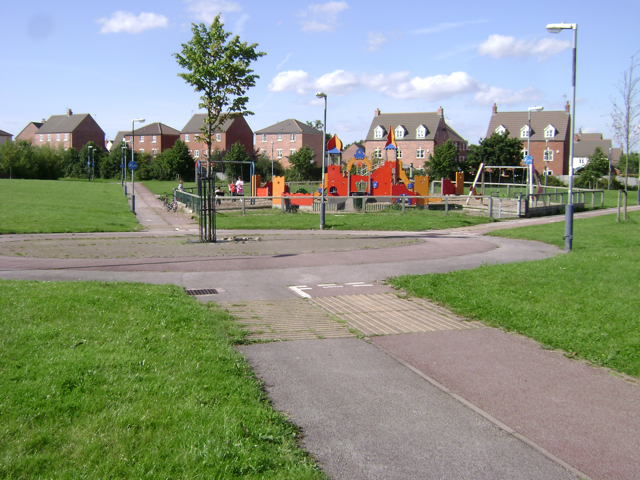
Image: © Robin Stott Taken: 11 Aug 2009
The OS Landranger map doesn't show any of the Warwick Gates estate yet. The overhead power line was undergrounded after lengthy negotiations between the developer, the electricity company and the planners, under pressure from local people for burying the cable. It runs beneath open space, verges and undeveloped land. Here it's beneath the cycle path. At its northwest end it goes underground by Europa Way Image
Images are licensed for reuse under creativecommons.org/licenses/by-sa/2.0
Image Location
Latitude
52.266069
Longitude
-1.541311