Downpatrick Street, Rathfriland
Introduction
The photograph on this page of Downpatrick Street, Rathfriland by Albert Bridge as part of the Geograph project.
The Geograph project started in 2005 with the aim of publishing, organising and preserving representative images for every square kilometre of Great Britain, Ireland and the Isle of Man.

There are currently over 7.5m images from over 14,400 individuals and you can help contribute to the project by visiting https://www.geograph.org.uk
Downpatrick Street, Rathfriland
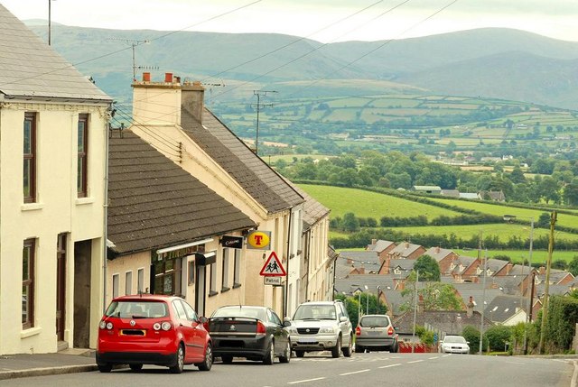
Image: © Albert Bridge Taken: 11 Aug 2009
Rathfriland sits in a prominent position at the top a hill. Downpatrick Street is part of the road from drumlin country to Castlewellan, Hilltown and the Mournes (background).
Images are licensed for reuse under creativecommons.org/licenses/by-sa/2.0
Image Location
Latitude
54.236308
Longitude
-6.157873