New housing development by Boswell Lane
Introduction
The photograph on this page of New housing development by Boswell Lane by Andrew Hill as part of the Geograph project.
The Geograph project started in 2005 with the aim of publishing, organising and preserving representative images for every square kilometre of Great Britain, Ireland and the Isle of Man.

There are currently over 7.5m images from over 14,400 individuals and you can help contribute to the project by visiting https://www.geograph.org.uk
New housing development by Boswell Lane
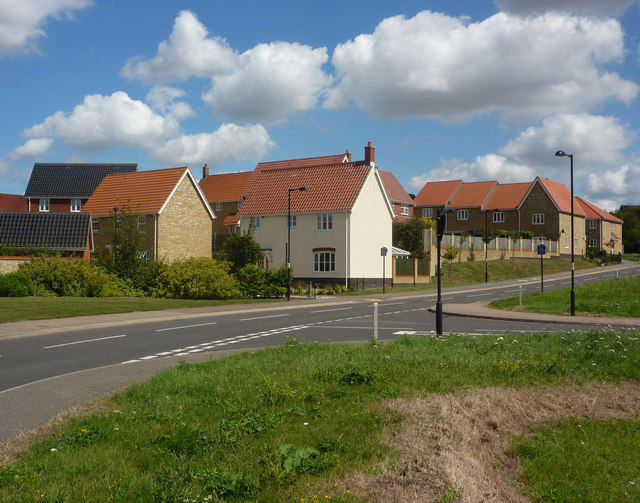
Image: © Andrew Hill Taken: 11 Aug 2009
A new estate filling in some of the space between the town and the A1071 passing to the north.
Images are licensed for reuse under creativecommons.org/licenses/by-sa/2.0
Image Location
Latitude
52.050556
Longitude
0.954785