Blind corner on Cob Lane
Introduction
The photograph on this page of Blind corner on Cob Lane by Dave Spicer as part of the Geograph project.
The Geograph project started in 2005 with the aim of publishing, organising and preserving representative images for every square kilometre of Great Britain, Ireland and the Isle of Man.

There are currently over 7.5m images from over 14,400 individuals and you can help contribute to the project by visiting https://www.geograph.org.uk
Blind corner on Cob Lane
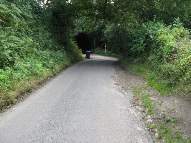
Image: © Dave Spicer Taken: 8 Aug 2009
The footpath to Pickeridge Farm is to the left
Images are licensed for reuse under creativecommons.org/licenses/by-sa/2.0
Image Location


Leaflet Map data © OpenStreetMap
Latitude
51.059517
Longitude
-0.070129