Field boundary near Feltwell
Introduction
The photograph on this page of Field boundary near Feltwell by Bob Jones as part of the Geograph project.
The Geograph project started in 2005 with the aim of publishing, organising and preserving representative images for every square kilometre of Great Britain, Ireland and the Isle of Man.

There are currently over 7.5m images from over 14,400 individuals and you can help contribute to the project by visiting https://www.geograph.org.uk
Field boundary near Feltwell
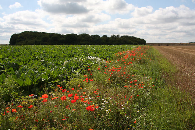
Image: © Bob Jones Taken: 11 Aug 2009
This open farmland south of Feltwell has until now proved difficult to access. But following the recent harvesting of the wheat field to the west, an open gateway with no 'private' sign provided an opportunity to venture towards this strange wooded clump, which hides concrete shelters that once formed part of RAF Feltwell. The base, now administered by the US Air Force, also extends into this grid square. Wild poppies are flourishing in the strip between the former wheat field and a brassica crop.
Images are licensed for reuse under creativecommons.org/licenses/by-sa/2.0
Image Location
Latitude
52.479778
Longitude
0.504069