Notre Dame High School demolition
Introduction
The photograph on this page of Notre Dame High School demolition by Thomas Nugent as part of the Geograph project.
The Geograph project started in 2005 with the aim of publishing, organising and preserving representative images for every square kilometre of Great Britain, Ireland and the Isle of Man.

There are currently over 7.5m images from over 14,400 individuals and you can help contribute to the project by visiting https://www.geograph.org.uk
Notre Dame High School demolition
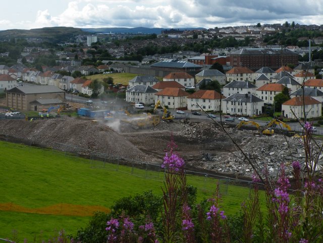
Image: © Thomas Nugent Taken: 10 Aug 2009
Only the former janitor's house and part of the games hall survive since this previous photo was taken Image
Images are licensed for reuse under creativecommons.org/licenses/by-sa/2.0
Image Location
Latitude
55.941207
Longitude
-4.776525