Drinkfield Marsh Nature Reserve
Introduction
The photograph on this page of Drinkfield Marsh Nature Reserve by Hugh Mortimer as part of the Geograph project.
The Geograph project started in 2005 with the aim of publishing, organising and preserving representative images for every square kilometre of Great Britain, Ireland and the Isle of Man.

There are currently over 7.5m images from over 14,400 individuals and you can help contribute to the project by visiting https://www.geograph.org.uk
Drinkfield Marsh Nature Reserve
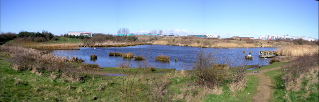
Image: © Hugh Mortimer Taken: 29 Mar 2006
An eight hectare nature reserve in north Darlington, accessible from Whessoe Road. Grassland and light woodland slopes down to a reed-fringed stream and shallow lake.
Images are licensed for reuse under creativecommons.org/licenses/by-sa/2.0
Image Location
Latitude
54.551218
Longitude
-1.557033