End of the road, Westley
Introduction
The photograph on this page of End of the road, Westley by John Goldsmith as part of the Geograph project.
The Geograph project started in 2005 with the aim of publishing, organising and preserving representative images for every square kilometre of Great Britain, Ireland and the Isle of Man.

There are currently over 7.5m images from over 14,400 individuals and you can help contribute to the project by visiting https://www.geograph.org.uk
End of the road, Westley
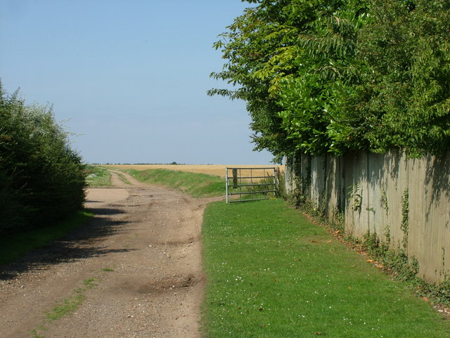
Image: © John Goldsmith Taken: 8 Aug 2009
This is where the tarmac of Church Road becomes a dirt track across a field. There are no signs to suggest where the public road ends - the natural assumption is at the end of the tarmac but maybe the track is included too?
Images are licensed for reuse under creativecommons.org/licenses/by-sa/2.0
Image Location
Latitude
52.248659
Longitude
0.664939