Farm buildings at Lower Boddington
Introduction
The photograph on this page of Farm buildings at Lower Boddington by David Stowell as part of the Geograph project.
The Geograph project started in 2005 with the aim of publishing, organising and preserving representative images for every square kilometre of Great Britain, Ireland and the Isle of Man.

There are currently over 7.5m images from over 14,400 individuals and you can help contribute to the project by visiting https://www.geograph.org.uk
Farm buildings at Lower Boddington
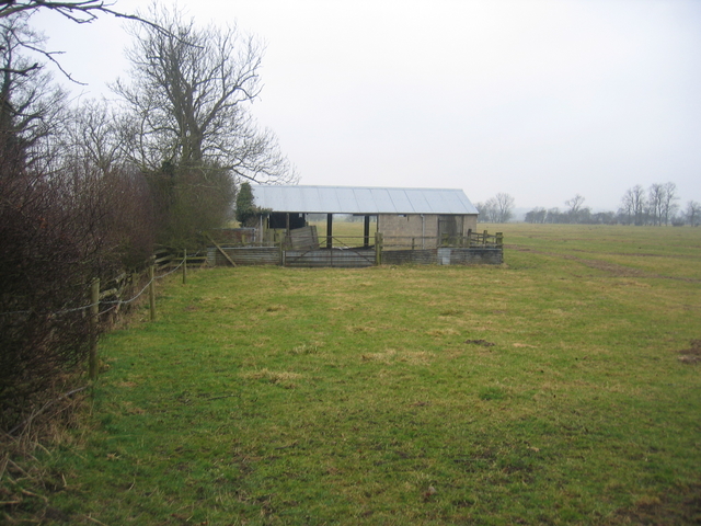
Image: © David Stowell Taken: 25 Mar 2006
The building marked on the 1:25,000 OS Map just to the west of the lane from Lower Boddington towards Claydon.
Images are licensed for reuse under creativecommons.org/licenses/by-sa/2.0
Image Location
Latitude
52.1633
Longitude
-1.301145