Timber yard near Claydon
Introduction
The photograph on this page of Timber yard near Claydon by David Stowell as part of the Geograph project.
The Geograph project started in 2005 with the aim of publishing, organising and preserving representative images for every square kilometre of Great Britain, Ireland and the Isle of Man.

There are currently over 7.5m images from over 14,400 individuals and you can help contribute to the project by visiting https://www.geograph.org.uk
Timber yard near Claydon
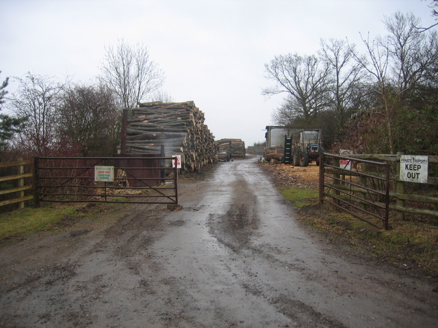
Image: © David Stowell Taken: 25 Mar 2006
Looking SE along the course of the former Stratford-upon-Avon and Midland Junction Railway as it ran parallel with the lane to Claydon and climbed before turning east and crossing over the ex-GWR main line. The trackbed at this point is currently occupied by this timber yard.
Images are licensed for reuse under creativecommons.org/licenses/by-sa/2.0
Image Location


Leaflet Map data © OpenStreetMap
Latitude
52.161802
Longitude
-1.353798