Old Uckfield Road
Introduction
The photograph on this page of Old Uckfield Road by Simon Carey as part of the Geograph project.
The Geograph project started in 2005 with the aim of publishing, organising and preserving representative images for every square kilometre of Great Britain, Ireland and the Isle of Man.

There are currently over 7.5m images from over 14,400 individuals and you can help contribute to the project by visiting https://www.geograph.org.uk
Old Uckfield Road
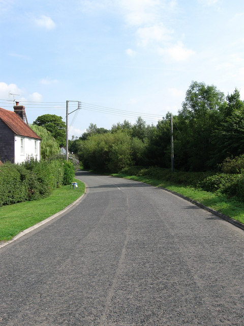
Image: © Simon Carey Taken: 8 Aug 2009
The former course of the A26 before it was straightened in the 1990s. The cottage on the left is Honeysuckle Cottage whilst the road is now a dead end leading to a few more cottages and The Cock, a former coaching inn.
Images are licensed for reuse under creativecommons.org/licenses/by-sa/2.0
Image Location
Latitude
50.903131
Longitude
0.045572