Footway Field
Introduction
The photograph on this page of Footway Field by Simon Carey as part of the Geograph project.
The Geograph project started in 2005 with the aim of publishing, organising and preserving representative images for every square kilometre of Great Britain, Ireland and the Isle of Man.

There are currently over 7.5m images from over 14,400 individuals and you can help contribute to the project by visiting https://www.geograph.org.uk
Footway Field
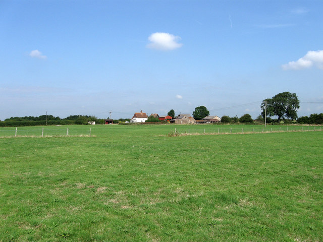
Image: © Simon Carey Taken: 8 Aug 2009
The name of the field according to the 1839 tithe map. The name probably derives from an ancient public access route through the fields which still exists today as part of a footpath from Ham Lane to the A26 near The Cock. Ham Farm is in the distance.
Images are licensed for reuse under creativecommons.org/licenses/by-sa/2.0
Image Location
Latitude
50.899147
Longitude
0.047104