Bestwood Village
Introduction
The photograph on this page of Bestwood Village by Trevor Rickard as part of the Geograph project.
The Geograph project started in 2005 with the aim of publishing, organising and preserving representative images for every square kilometre of Great Britain, Ireland and the Isle of Man.

There are currently over 7.5m images from over 14,400 individuals and you can help contribute to the project by visiting https://www.geograph.org.uk
Bestwood Village
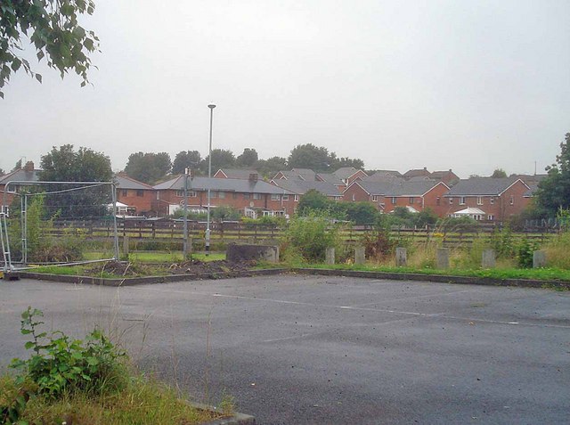
Image: © Trevor Rickard Taken: 1 Aug 2009
View north-west from the colliery car park. This is the modern end of the village, further west are some well-appointed Victorian miners terraces.
Images are licensed for reuse under creativecommons.org/licenses/by-sa/2.0
Image Location
Latitude
53.023718
Longitude
-1.173272