The Meadow
Introduction
The photograph on this page of The Meadow by Simon Carey as part of the Geograph project.
The Geograph project started in 2005 with the aim of publishing, organising and preserving representative images for every square kilometre of Great Britain, Ireland and the Isle of Man.

There are currently over 7.5m images from over 14,400 individuals and you can help contribute to the project by visiting https://www.geograph.org.uk
The Meadow
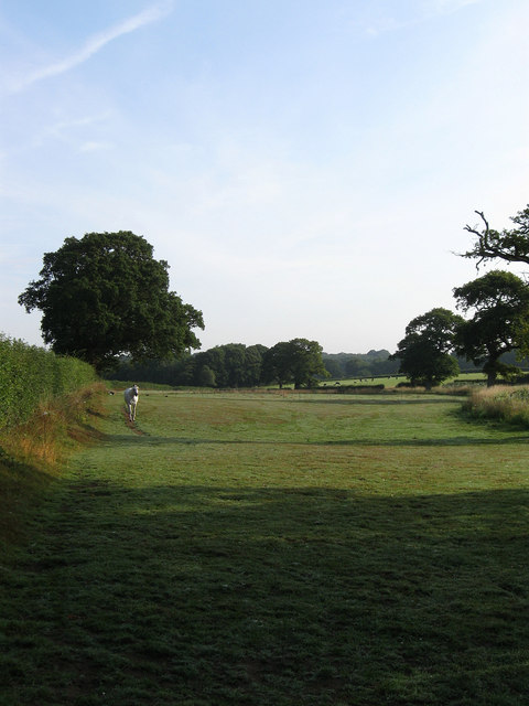
Image: © Simon Carey Taken: 8 Aug 2009
The name of the field according to the 1839 tithe map. Formerly part of The Broyle, a medieval deer park that also had common rights, that was enclosed in 1767. The field straddles Clayhill Stream and is threatened by the construction of new reservoir projected to start in 2020.
Images are licensed for reuse under creativecommons.org/licenses/by-sa/2.0
Image Location
Latitude
50.909253
Longitude
0.080833