Froxfield 28
Introduction
The photograph on this page of Froxfield 28 by Hugh Craddock as part of the Geograph project.
The Geograph project started in 2005 with the aim of publishing, organising and preserving representative images for every square kilometre of Great Britain, Ireland and the Isle of Man.

There are currently over 7.5m images from over 14,400 individuals and you can help contribute to the project by visiting https://www.geograph.org.uk
Froxfield 28
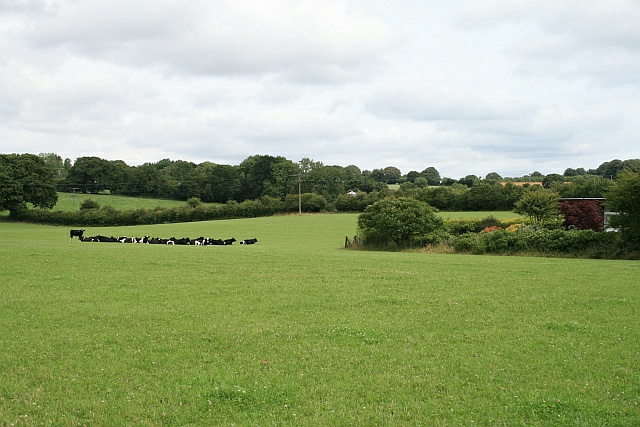
Image: © Hugh Craddock Taken: 26 Jul 2009
View north-east to Blackmore Farm from footpath Froxfield 28. The footpath passes just to the left of the corner of Green Slade, the garden enclosure on the right.
Images are licensed for reuse under creativecommons.org/licenses/by-sa/2.0
Image Location
Latitude
51.036024
Longitude
-0.980789