Chelmondiston and Pin Mill village sign
Introduction
The photograph on this page of Chelmondiston and Pin Mill village sign by Andrew Hill as part of the Geograph project.
The Geograph project started in 2005 with the aim of publishing, organising and preserving representative images for every square kilometre of Great Britain, Ireland and the Isle of Man.

There are currently over 7.5m images from over 14,400 individuals and you can help contribute to the project by visiting https://www.geograph.org.uk
Chelmondiston and Pin Mill village sign
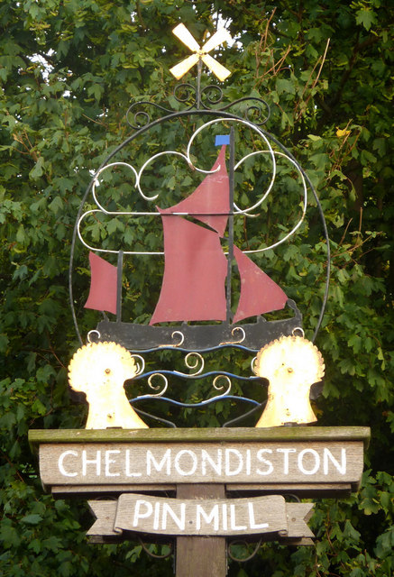
Image: © Andrew Hill Taken: 7 Aug 2009
The proximity of the Orwell is not obvious when driving through on the B1456, but the sign acts as a reminder.
Images are licensed for reuse under creativecommons.org/licenses/by-sa/2.0
Image Location
Latitude
51.990018
Longitude
1.206026