Barley field, Lethendy
Introduction
The photograph on this page of Barley field, Lethendy by Mike Pennington as part of the Geograph project.
The Geograph project started in 2005 with the aim of publishing, organising and preserving representative images for every square kilometre of Great Britain, Ireland and the Isle of Man.

There are currently over 7.5m images from over 14,400 individuals and you can help contribute to the project by visiting https://www.geograph.org.uk
Barley field, Lethendy
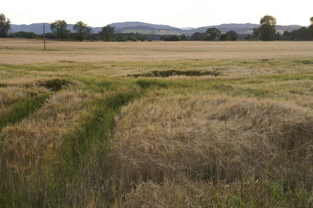
Image: © Mike Pennington Taken: 7 Aug 2009
Signs warned that this crop had been treated with sulphuric acid - this would have been left from when the field was in potatoes.
Images are licensed for reuse under creativecommons.org/licenses/by-sa/2.0
Image Location
Latitude
56.55332
Longitude
-3.402866