New Housing Development and Bancroft Park
Introduction
The photograph on this page of New Housing Development and Bancroft Park by Samir Jeraj as part of the Geograph project.
The Geograph project started in 2005 with the aim of publishing, organising and preserving representative images for every square kilometre of Great Britain, Ireland and the Isle of Man.

There are currently over 7.5m images from over 14,400 individuals and you can help contribute to the project by visiting https://www.geograph.org.uk
New Housing Development and Bancroft Park
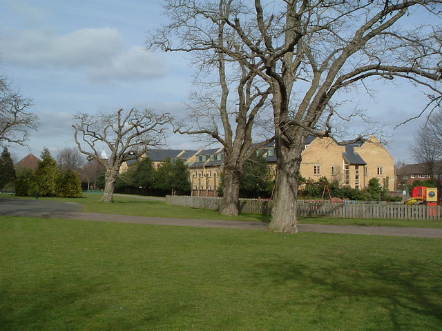
Image: © Samir Jeraj Taken: 22 Mar 2006
Bancroft Park is in the foreground, in the distance towards Grove Road and Nightingale Road is one of several new housing developments.
Images are licensed for reuse under creativecommons.org/licenses/by-sa/2.0
Image Location
Latitude
51.952276
Longitude
-0.277097