Bingle Lane off Cowbridge Road - St Athan
Introduction
The photograph on this page of Bingle Lane off Cowbridge Road - St Athan by Mick Lobb as part of the Geograph project.
The Geograph project started in 2005 with the aim of publishing, organising and preserving representative images for every square kilometre of Great Britain, Ireland and the Isle of Man.

There are currently over 7.5m images from over 14,400 individuals and you can help contribute to the project by visiting https://www.geograph.org.uk
Bingle Lane off Cowbridge Road - St Athan
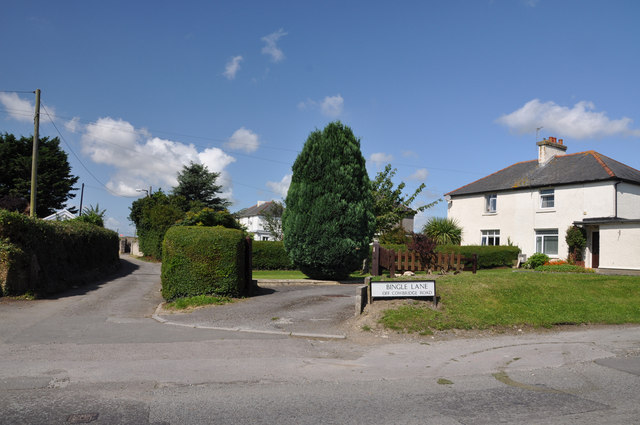
Image: © Mick Lobb Taken: 7 Aug 2009
This small lane contains six semi-detached houses on one side that were once 'Ministry' houses, as in Ministry of Defence, and would have been the homes of personnel associated with the RAF camp.
Images are licensed for reuse under creativecommons.org/licenses/by-sa/2.0
Image Location
Latitude
51.407122
Longitude
-3.41755