Anchor Field
Introduction
The photograph on this page of Anchor Field by Simon Carey as part of the Geograph project.
The Geograph project started in 2005 with the aim of publishing, organising and preserving representative images for every square kilometre of Great Britain, Ireland and the Isle of Man.

There are currently over 7.5m images from over 14,400 individuals and you can help contribute to the project by visiting https://www.geograph.org.uk
Anchor Field
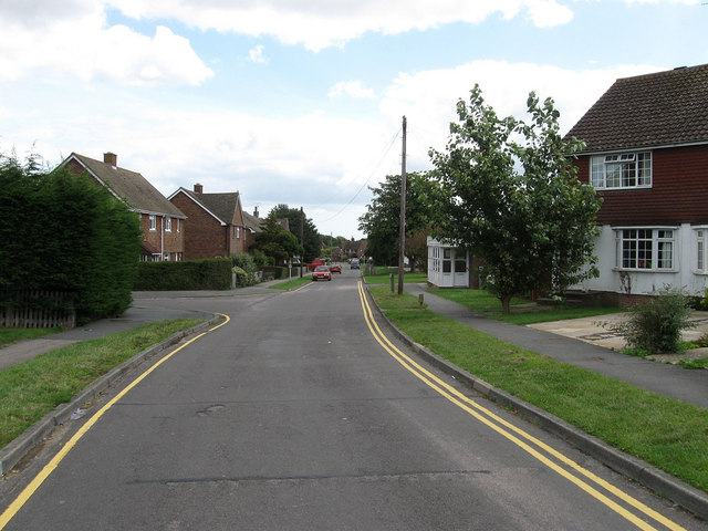
Image: © Simon Carey Taken: 2 Aug 2009
The name of the road that links Springett Avenue with Shepherds Way built in the 1950s along with much of residential Ringmer. The road heading off left is Shelley Road
Images are licensed for reuse under creativecommons.org/licenses/by-sa/2.0
Image Location
Latitude
50.892932
Longitude
0.057923