Housing west of Martins Road, Ulceby
Introduction
The photograph on this page of Housing west of Martins Road, Ulceby by Jonathan Billinger as part of the Geograph project.
The Geograph project started in 2005 with the aim of publishing, organising and preserving representative images for every square kilometre of Great Britain, Ireland and the Isle of Man.

There are currently over 7.5m images from over 14,400 individuals and you can help contribute to the project by visiting https://www.geograph.org.uk
Housing west of Martins Road, Ulceby
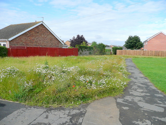
Image: © Jonathan Billinger Taken: 29 Jul 2009
As children we used this land before it was built on, as our playground!
Images are licensed for reuse under creativecommons.org/licenses/by-sa/2.0
Image Location
Latitude
53.619029
Longitude
-0.32064