Pond in moated area at Bugthorpe
Introduction
The photograph on this page of Pond in moated area at Bugthorpe by Dr Patty McAlpin as part of the Geograph project.
The Geograph project started in 2005 with the aim of publishing, organising and preserving representative images for every square kilometre of Great Britain, Ireland and the Isle of Man.

There are currently over 7.5m images from over 14,400 individuals and you can help contribute to the project by visiting https://www.geograph.org.uk
Pond in moated area at Bugthorpe
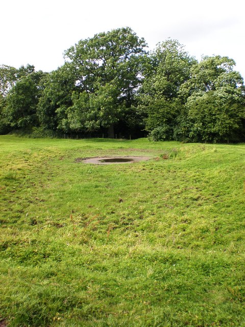
Image: © Dr Patty McAlpin Taken: 3 Aug 2009
This shows a pond in one of Bugthorpe's two ancient moated areas, taken from the public footpath which traverses the field.
Images are licensed for reuse under creativecommons.org/licenses/by-sa/2.0
Image Location
Latitude
54.01377
Longitude
-0.82246