Long Field
Introduction
The photograph on this page of Long Field by Simon Carey as part of the Geograph project.
The Geograph project started in 2005 with the aim of publishing, organising and preserving representative images for every square kilometre of Great Britain, Ireland and the Isle of Man.

There are currently over 7.5m images from over 14,400 individuals and you can help contribute to the project by visiting https://www.geograph.org.uk
Long Field
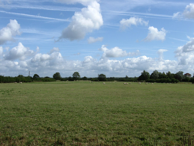
Image: © Simon Carey Taken: 2 Aug 2009
The name given to the field on the 1839 tithe map. Viewed from Neaves Lane with Moor House just visible on the right.
Images are licensed for reuse under creativecommons.org/licenses/by-sa/2.0
Image Location
Latitude
50.88375
Longitude
0.078702