River Coquet below Pauperhaugh Bridge
Introduction
The photograph on this page of River Coquet below Pauperhaugh Bridge by Oliver Dixon as part of the Geograph project.
The Geograph project started in 2005 with the aim of publishing, organising and preserving representative images for every square kilometre of Great Britain, Ireland and the Isle of Man.

There are currently over 7.5m images from over 14,400 individuals and you can help contribute to the project by visiting https://www.geograph.org.uk
River Coquet below Pauperhaugh Bridge
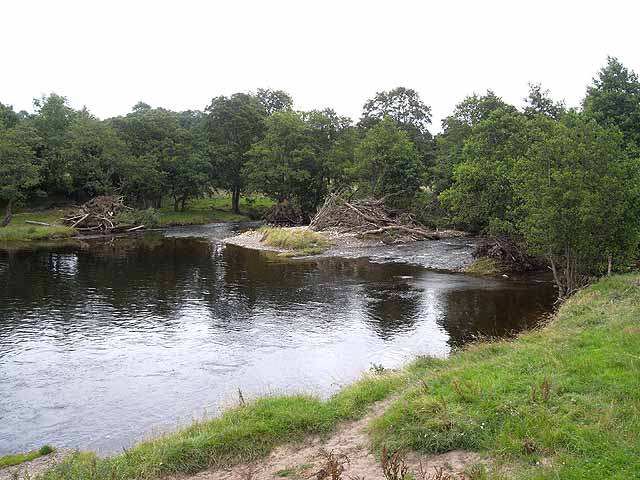
Image: © Oliver Dixon Taken: 31 Jul 2009
Although the river level had fallen since the flood two weeks previously (see Image), there was still plenty of evidence in the form of trees and branches washed up in the river bed.
Images are licensed for reuse under creativecommons.org/licenses/by-sa/2.0
Image Location
Latitude
55.289159
Longitude
-1.841885