Farm cottages, Akeld
Introduction
The photograph on this page of Farm cottages, Akeld by Stephen Craven as part of the Geograph project.
The Geograph project started in 2005 with the aim of publishing, organising and preserving representative images for every square kilometre of Great Britain, Ireland and the Isle of Man.

There are currently over 7.5m images from over 14,400 individuals and you can help contribute to the project by visiting https://www.geograph.org.uk
Farm cottages, Akeld
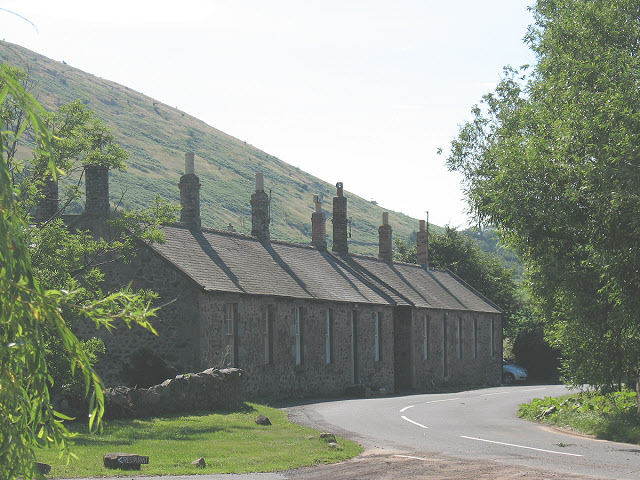
Image: © Stephen Craven Taken: 2 Jul 2009
What appears from the road to be a single row of cottages is in fact but one side of a square, as evident from aerial photographs and as described in this link: http://www.northumberlandnationalpark.org.uk/understanding/historyarchaeology/historicvillageatlas/villageatlasakeld/akeldhistory/akeldremodellingthevillage
Images are licensed for reuse under creativecommons.org/licenses/by-sa/2.0
Image Location
Latitude
55.560873
Longitude
-2.070841