Moorland near Tullymurdoch
Introduction
The photograph on this page of Moorland near Tullymurdoch by Mike Pennington as part of the Geograph project.
The Geograph project started in 2005 with the aim of publishing, organising and preserving representative images for every square kilometre of Great Britain, Ireland and the Isle of Man.

There are currently over 7.5m images from over 14,400 individuals and you can help contribute to the project by visiting https://www.geograph.org.uk
Moorland near Tullymurdoch
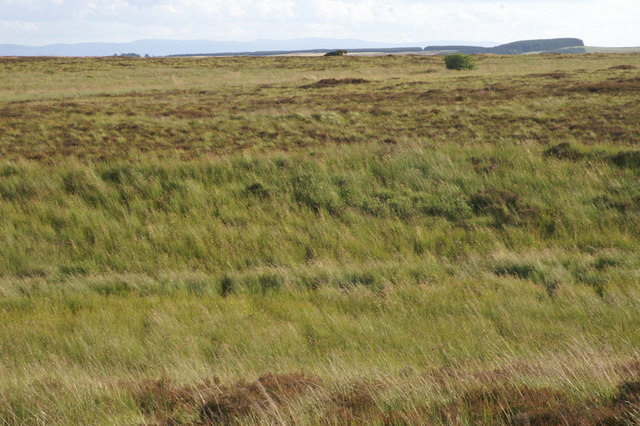
Image: © Mike Pennington Taken: 30 Jul 2009
After a failed attempt earlier in the week relying on the 1:50000 map, a new version of almost the same view, but verified by GPS as being in the square.
Images are licensed for reuse under creativecommons.org/licenses/by-sa/2.0
Image Location
Latitude
56.660561
Longitude
-3.324296