The heart of Littlebury village
Introduction
The photograph on this page of The heart of Littlebury village by Robert Edwards as part of the Geograph project.
The Geograph project started in 2005 with the aim of publishing, organising and preserving representative images for every square kilometre of Great Britain, Ireland and the Isle of Man.

There are currently over 7.5m images from over 14,400 individuals and you can help contribute to the project by visiting https://www.geograph.org.uk
The heart of Littlebury village
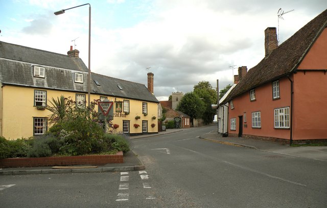
Image: © Robert Edwards Taken: 20 Jul 2009
This is a view from the end of Strethall Road and shows the 'Queens Head Inn', the church tower and some old cottages. The main road running through the village is the B1383.
Images are licensed for reuse under creativecommons.org/licenses/by-sa/2.0
Image Location
Latitude
52.033802
Longitude
0.209481