Stockton Cross
Introduction
The photograph on this page of Stockton Cross by Richard Webb as part of the Geograph project.
The Geograph project started in 2005 with the aim of publishing, organising and preserving representative images for every square kilometre of Great Britain, Ireland and the Isle of Man.

There are currently over 7.5m images from over 14,400 individuals and you can help contribute to the project by visiting https://www.geograph.org.uk
Stockton Cross
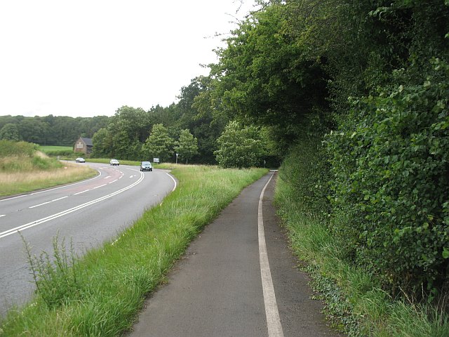
Image: © Richard Webb Taken: 28 Jul 2009
This used to be a crossroads, and from Brimfield or Ludlow you would turn right here for Hereford and Leominster. In about 1967 the road was realigned to a sweeping bend with the old crossroads becoming a T-junction between the Leysters and Hamnish roads. The cycle path runs along the old A49 alignment.
Images are licensed for reuse under creativecommons.org/licenses/by-sa/2.0
Image Location
Latitude
52.243948
Longitude
-2.712919