Maxstoke Gardens, Tachbrook Road, Leamington Spa
Introduction
The photograph on this page of Maxstoke Gardens, Tachbrook Road, Leamington Spa by Robin Stott as part of the Geograph project.
The Geograph project started in 2005 with the aim of publishing, organising and preserving representative images for every square kilometre of Great Britain, Ireland and the Isle of Man.

There are currently over 7.5m images from over 14,400 individuals and you can help contribute to the project by visiting https://www.geograph.org.uk
Maxstoke Gardens, Tachbrook Road, Leamington Spa
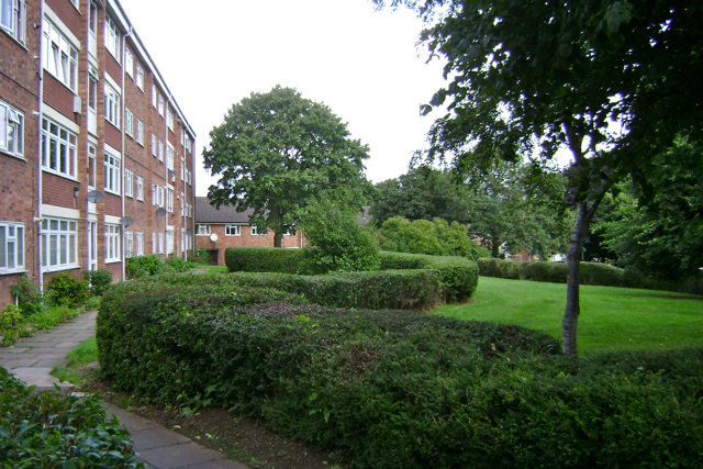
Image: © Robin Stott Taken: 30 Jul 2009
One of two instances of council flats whose grounds were landscaped with sinuous hedges. The name refers to Maxstoke Castle in north Warwickshire.
Images are licensed for reuse under creativecommons.org/licenses/by-sa/2.0
Image Location


Leaflet Map data © OpenStreetMap
Latitude
52.281335
Longitude
-1.536756